GIS Map Gallery:
|
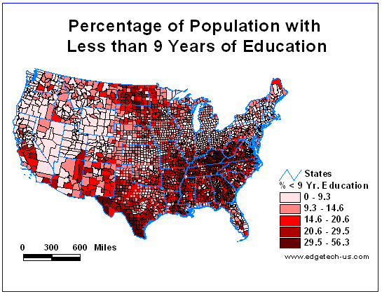
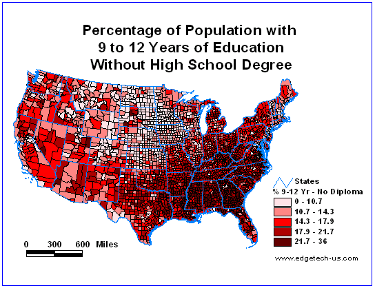
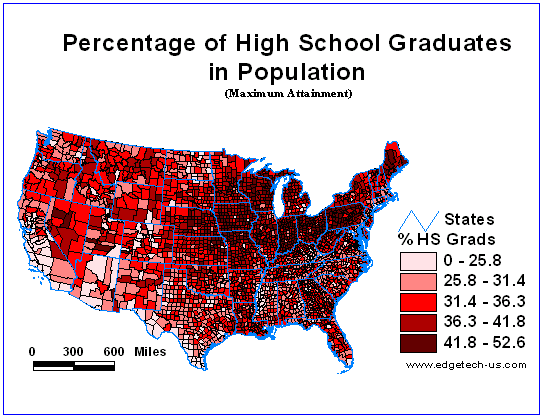
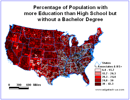
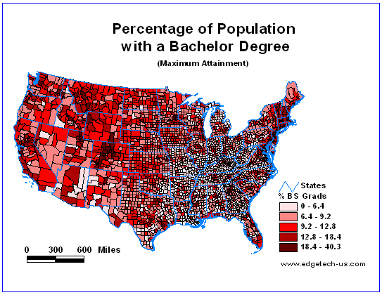
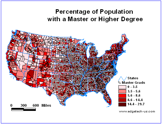
The following maps display the percentage of the US population with a certain level of educational attainment.
These maps were created for a site selection analysis in 1997. They are based on the latest tabular data publicly available at the time from the U.S. Bureau of Labor Statistics.
|
Population with Less than 9 years of education |
Up to 12 years of education but no high school degree |
High school graduates |
|
 |
 |
 |
|
|
|
|||
|
More education than high school |
Bachelor degree |
Master degree or higher |
|
 |
 |
 |
|
| Contact Us | Home | MapSpeller | Maps |
Copyright © 1997-2017. Edgetech America, Inc.
October 07, 2017